Maps

“We are offshore in the middle of nowhere, and on the chart, if you don’t go on the maximum zoom you can’t see anything.”

Cargados_Carajos_Shoals_ISS

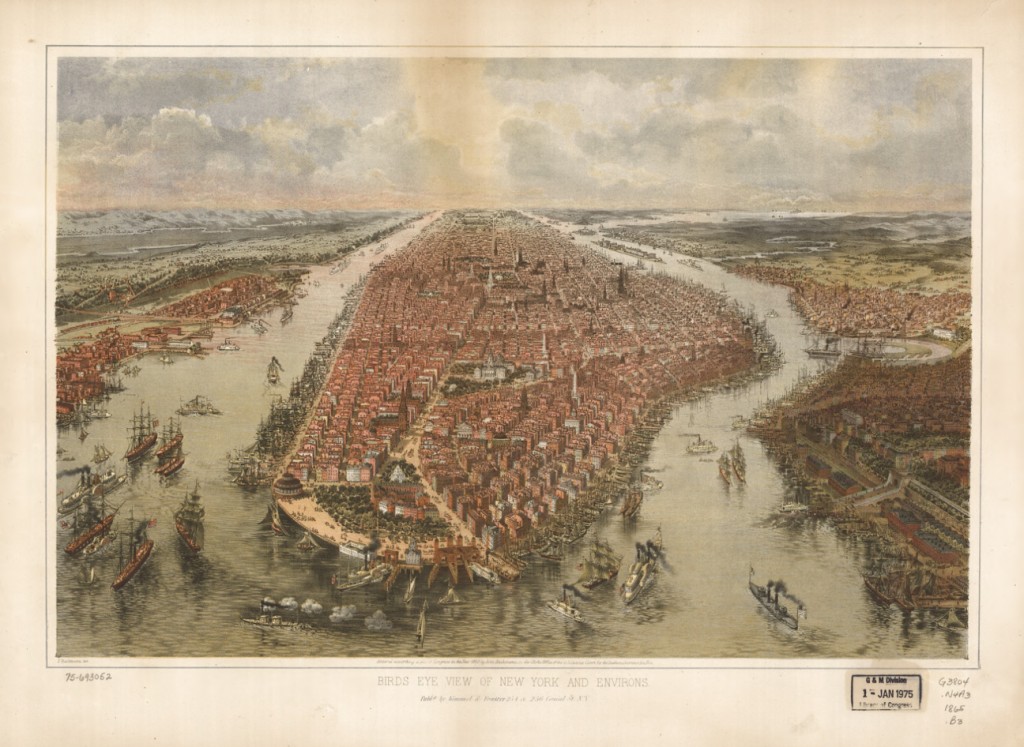
"It is far better to have absolutely no idea of where one is - and to know it - than to believe confidently that one is where one is not." - Jean-Dominique Cassini

Me cago en la mar1

Zoom.

Me cago en la mar2

Zoom, zoom.

Me cago en la mar3

Zoom, zoom, zoom!

Nga-chart-615512

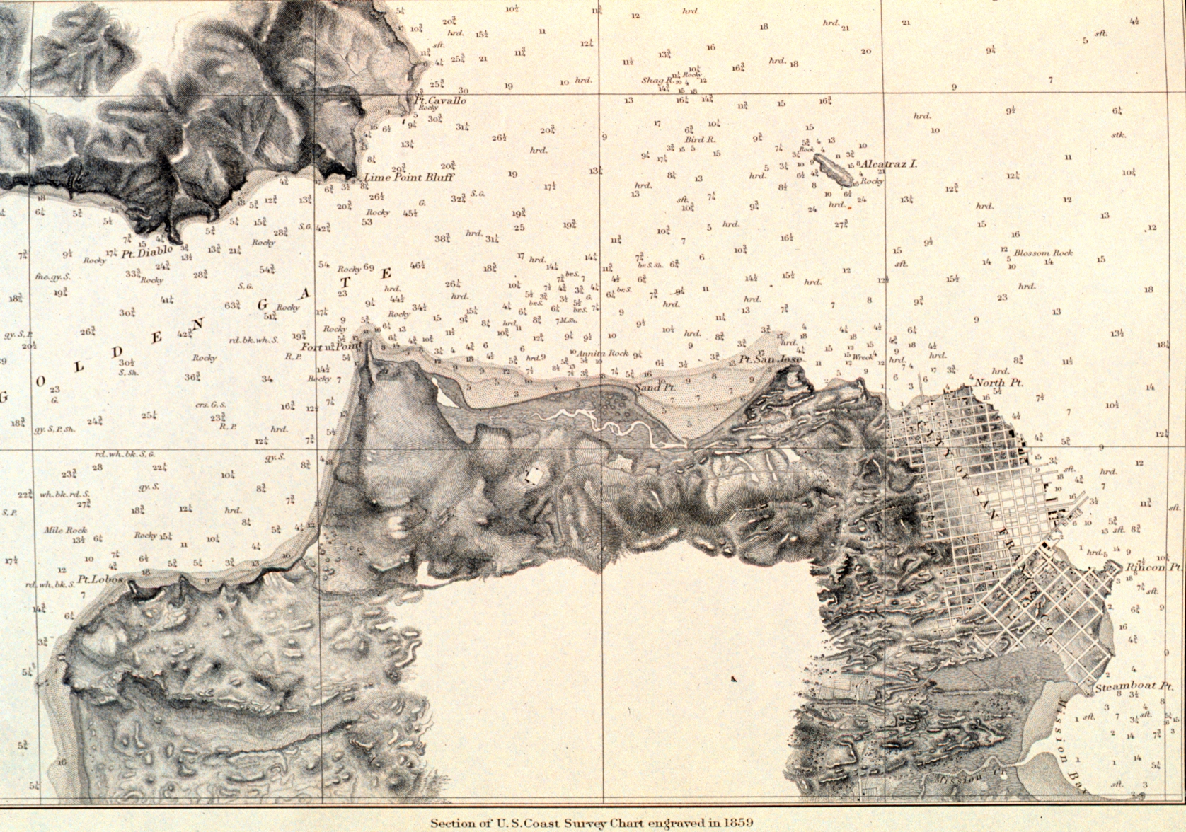
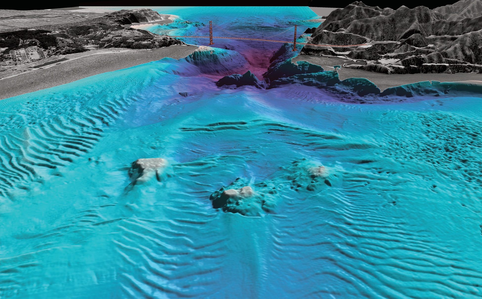
I guess paper charts aren't so old fashioned after all.

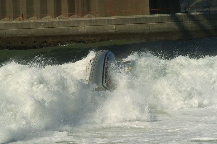
Of course, this ribbing is all in good fun. I'm glad that everyone from Team Vestas Wind were rescued and unharmed. To quote Fredrik Lönegren, "Shit happens!"

Maps On Monday. The Salinity Of The Oceans.

Aquarius_salinity.25Aug2011-11Sep2011

Aquarius has produced its first map of global ocean salinity. The map is a composite of the first two and a half weeks of data since the instrument became operational on August 25. Yellow and red colors represent areas of higher salinity, with blues and purples indicating areas of lower salinity.

Aquarius is a focused effort to measure Sea Surface Salinity and will provide the global view of salinity variability needed for climate studies. The mission is a collaboration between NASA and the Space Agency of Argentina (Comisión Nacional de Actividades Espaciales).

Maps On Monday. The Entrance To San Francisco Bay.

Shawn, take a look at the chart. This is why waves wrap around the point into the cove at (almost) 90 degrees. It's a good place to surf (if you like big rocks, crazy swells, cranky surfers, playing with strong tides and currents....not me).

The chart also shows you why you don't want to sail between the south tower of the Golden Gate Bridge and Fort Point.

You remember Capt. Joe Schidmt. He learned how to surf the hard way.

To quote the Puffin, "Munchola!"

Technorati Tags: , , ,